Published 27 May 2026. For services, prices, and deadlines, verify the latest information with the linked sources.
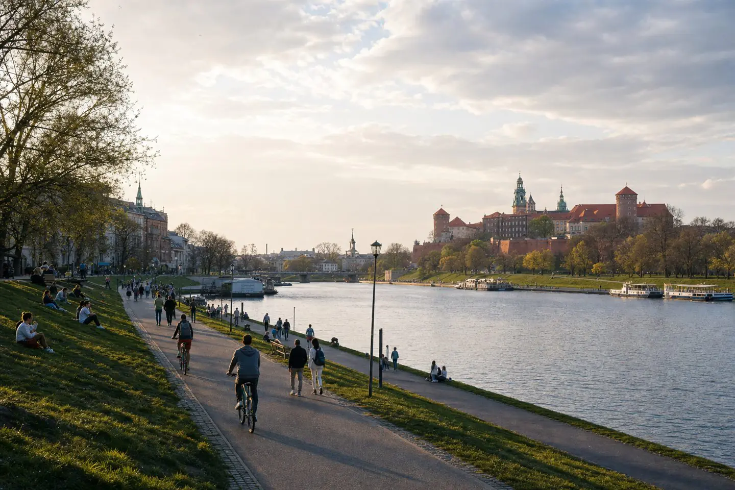
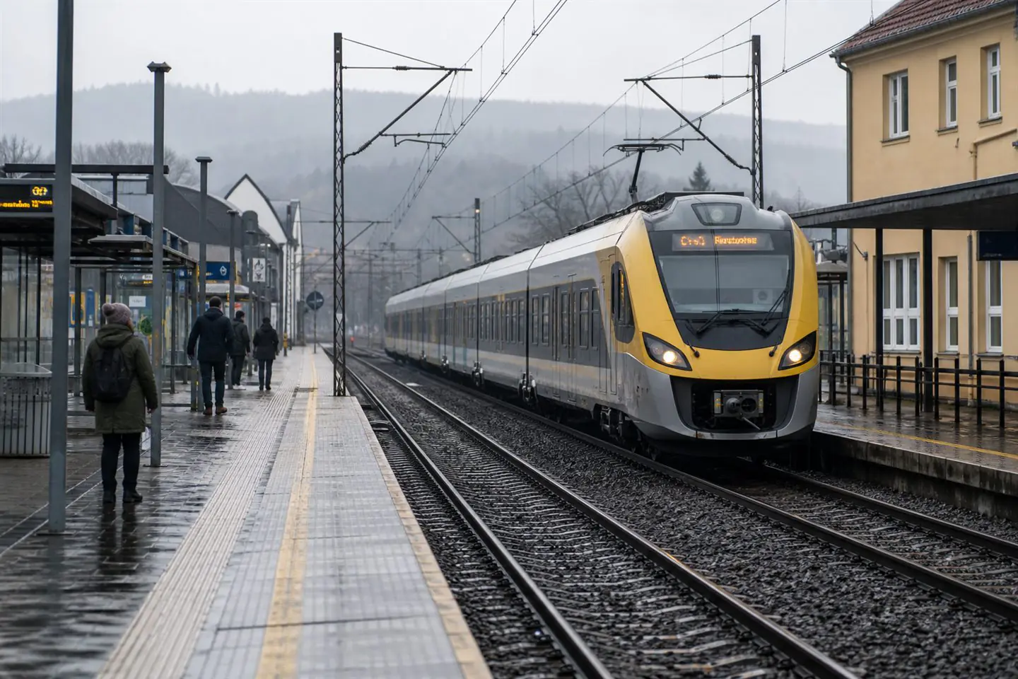
A Vistula weekend from Warsaw should not be planned as a fantasy map of pretty stops. It should begin with logistics: how far the group can travel, what transport returns are available, what the weather does, whether the riverbank route is comfortable, and what happens if the day turns wet or hot.
What to know
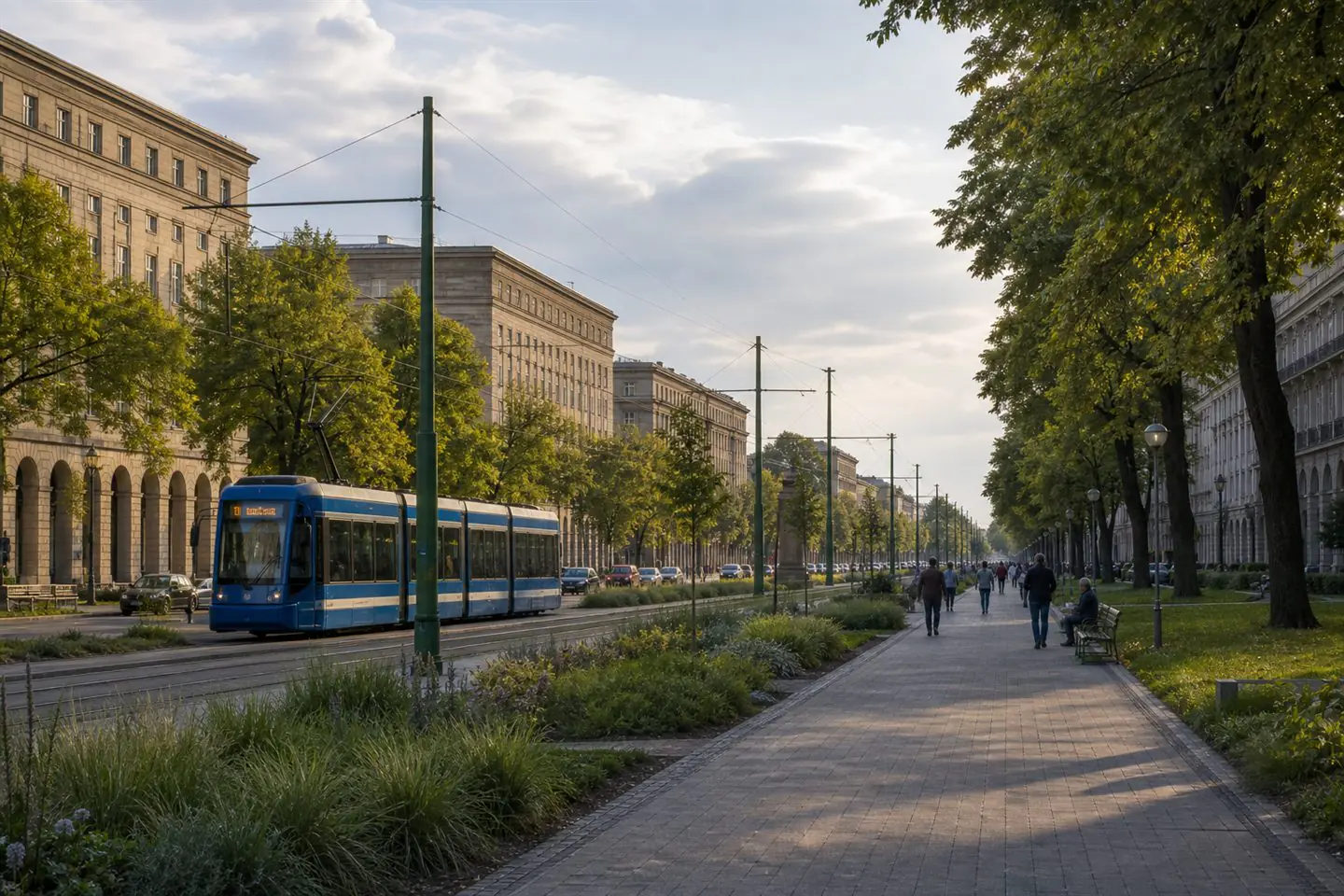
Official tourism pages help choose the Warsaw starting point and city-facing attractions. WTP helps with urban movement before and after the trip. IMGW hydrological data are useful whenever a plan depends on river conditions, especially if the route includes beaches, low banks, or waterside paths.
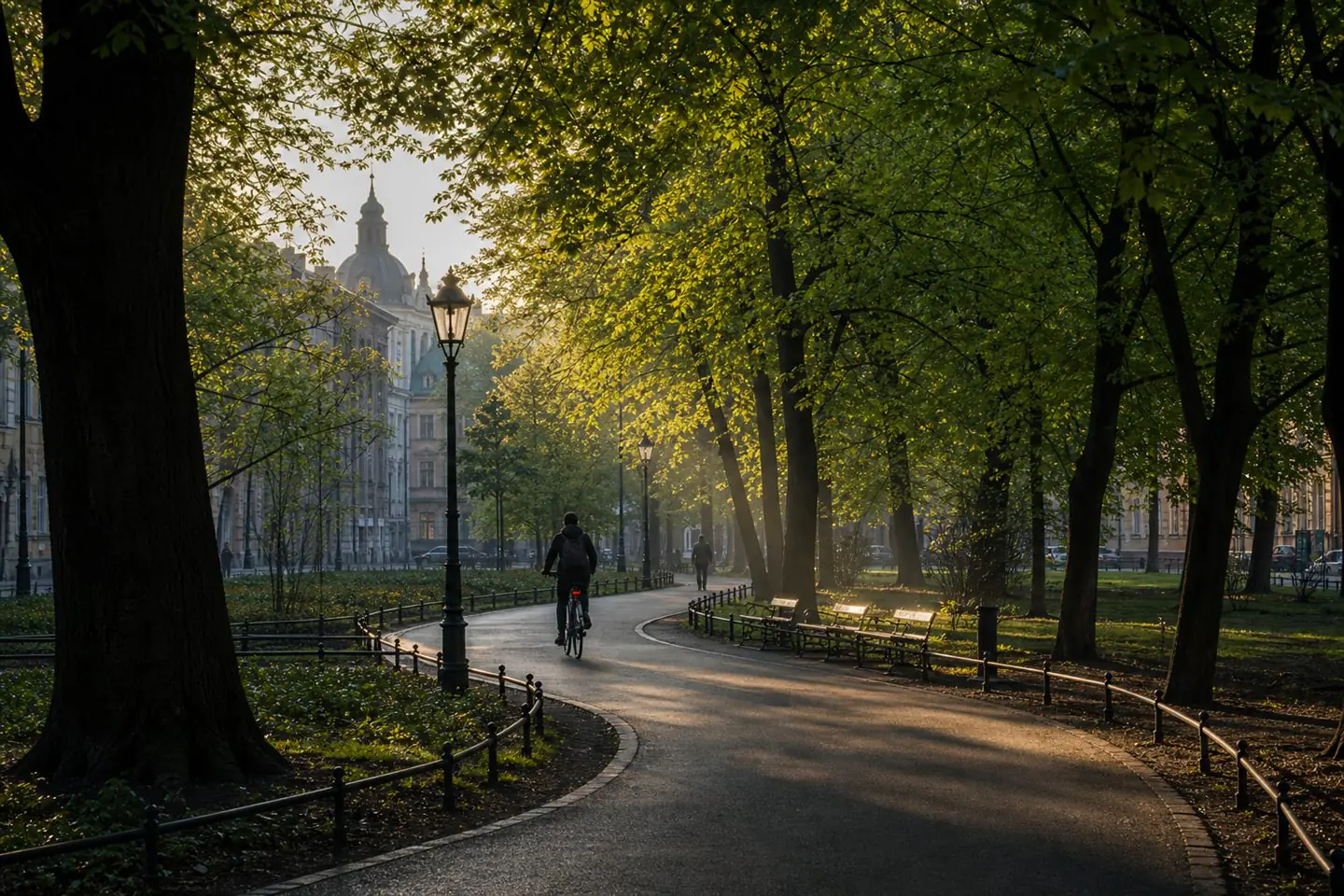
The simplest structure is one anchor, one walk, one meal, and one backup. The anchor can be a museum, viewpoint, small town, riverside park, or cultural event. The walk should be realistic rather than heroic. The meal should not require a perfect timetable. The backup should be indoors or transport-adjacent.
The point is not to escape the city as quickly as possible. It is to understand the Vistula as a corridor that connects capitals, towns, ecosystems, and ordinary weekend decisions. A good route leaves enough space to notice the river rather than only collect locations beside it.
Sources
IMGW-PIBHydrological serviceAccessed: 08 Jun 2026WTP WarsawWarszawski Transport PublicznyAccessed: 08 Jun 2026Warsaw Tourism OfficeGo To WarsawAccessed: 08 Jun 2026Found an error? Request a correction.