Published 06 Jun 2026. For services, prices, and deadlines, verify the latest information with the linked sources.
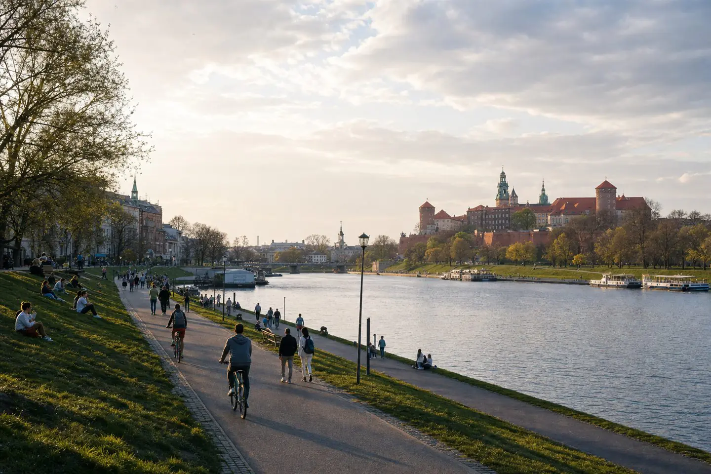
The Vistula is often described through a single image: a wide summer beach, a low-water headline, or a flood-season warning. None of those pictures is wrong, but each is incomplete. In Warsaw the river is at once hydrology, habitat, transport barrier, recreational spine, city identity, and climate signal.
What to know
IMGW’s hydrological service is the first place to check water conditions, because river claims age quickly. A reader should not trust a timeless article that says the Vistula is "low today" or "rising now." The useful habit is to know where the official gauge data live and to treat the article as context rather than live measurement.
The city layer is equally important. Warsaw promotes the river as public space through events, boulevards, beaches, walking routes, and tourism material. That makes the Vistula visible and loved, but also more politically sensitive. A bank that works for nightlife may not work for nesting birds, flood safety, shade, or quiet access for nearby residents.
The Vistula should therefore be read as a system. The water level matters, but so do tree cover, access points, waste, public transport, event pressure, and how quickly officials explain risk when conditions change. That is the standard Vistula Ledger will apply to river stories from Krakow to Warsaw.
Sources
IMGW-PIBHydrological serviceAccessed: 08 Jun 2026City of WarsawWarsaw official city portalAccessed: 08 Jun 2026Warsaw Tourism OfficeGo To WarsawAccessed: 08 Jun 2026Found an error? Request a correction.